SDSC's augmented-reality sandbox is up and running
The Spatial Data Science Center now has an augmented-reality sandbox: shape the sand and the contour map follows your hands, hold one out and it rains.
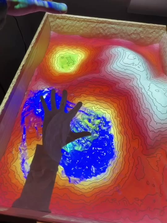
The Spatial Data Science Center (SDSC) has a new resident: an augmented-reality sandbox, now calibrated and running thanks to graduate research assistant Chen-Lun Kao.
It is a box of sand that knows its own shape. As you dig and pile the sand, the sandbox reads the surface and projects it straight back onto itself as colour-banded elevation with contour lines, redrawn as the sand moves. Hold a hand flat over the box and it starts to rain: the water runs downhill, follows the valleys, and collects in whichever basin is lowest.
The sandbox isn't a research instrument. It is the quickest way we know to make a contour map make sense. Build a hill and watch the lines crowd together on its steep side; dig a valley and see exactly where the rain goes.
If you are visiting SDSC, ask to see it, and bring your hands. To arrange a visit, get in touch.